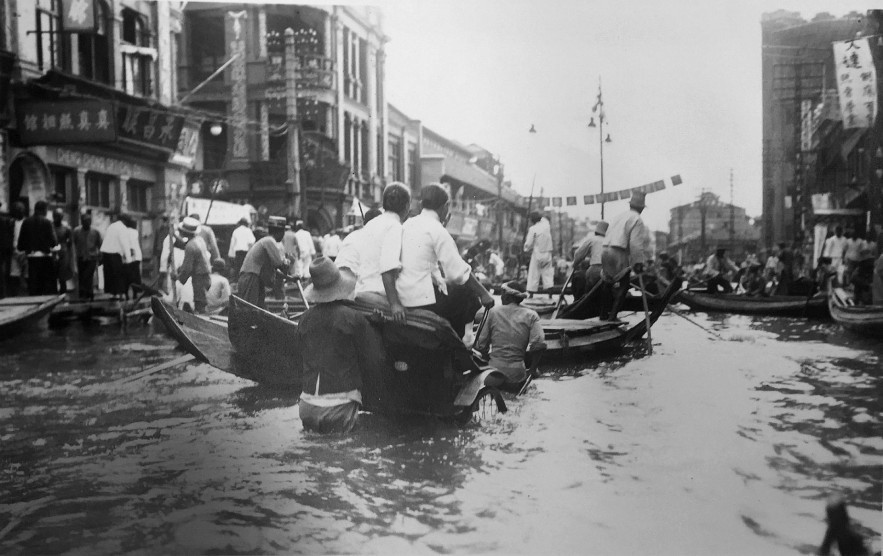
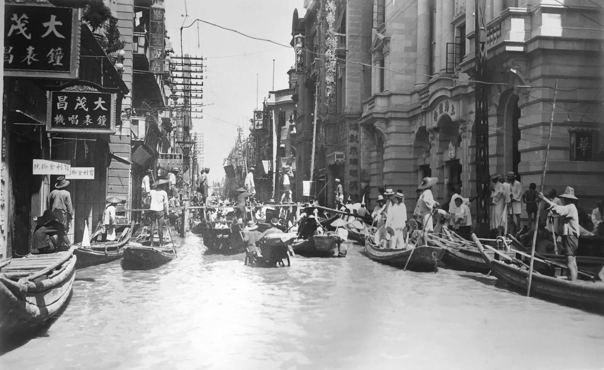
On this day in weather history, areas of China were flooded.
This Day In Weather History is a daily podcast by Chris Mei from The Weather Network, featuring stories about people, communities and events and how weather impacted them.
From June to August 1931, areas of central and eastern China flooded, including densely populated cities like Wuhan and Nanjing. The death toll of the floods ranges between 422,499-4,000,000, depending on the source.

China faced some extreme weather in the late 1920s and early 30s. From 1928 to 1930, the country was in a drought. Then the 1930 winter was harsh, which created substantial deposits of snow and ice around mountainous areas.
At the beginning of 1931, the snow and ice started to melt, flowing downstream into the Yangtze River. The area is used to increased water levels during spring, summer, and fall, but the flow was consistent in 1931.

Those living in low areas left their homes. Areas along the Yangtze reported rain over 600 mm of rain in June. The river’s water levels reached its highest since record-keeping began.
On Aug. 25, 1931, a dike along Lake Gaoyou was breached. The floods covered around 180,000 square kilometres, approximately the size of New York, New Jersey, and Connecticut combined.
The floods destroyed extensive housing and farmland. Approximately 15 per cent of wheat and rice crops were destroyed in the Yangtze Valley. The floods impacted the economy as the price of vital commodities skyrocketed.

The stress on the land and economy caused many areas to go into famine. Some people ate tree bark and weeds, and other people sold their children to survive. Some people even turned to cannibalism. Disease, including cholera, and measles, malaria, spread across displaced refugee communities.
The 1931 China flood is known as one of the world’s deadliest disasters.
To learn more about the 1931 China floods, listen to today’s episode of “This Day In Weather History.”


